
Named after Glen Coe in the Highlands of Scotland. The town was originally named Glencoe Junction, as it was a large railway junction. In time it simply became Glencoe.
Payne’s Farm, not far from the railway station, served as a Boer military hospital during the first stages of the Anglo Boer War from October 1899—February 1900.
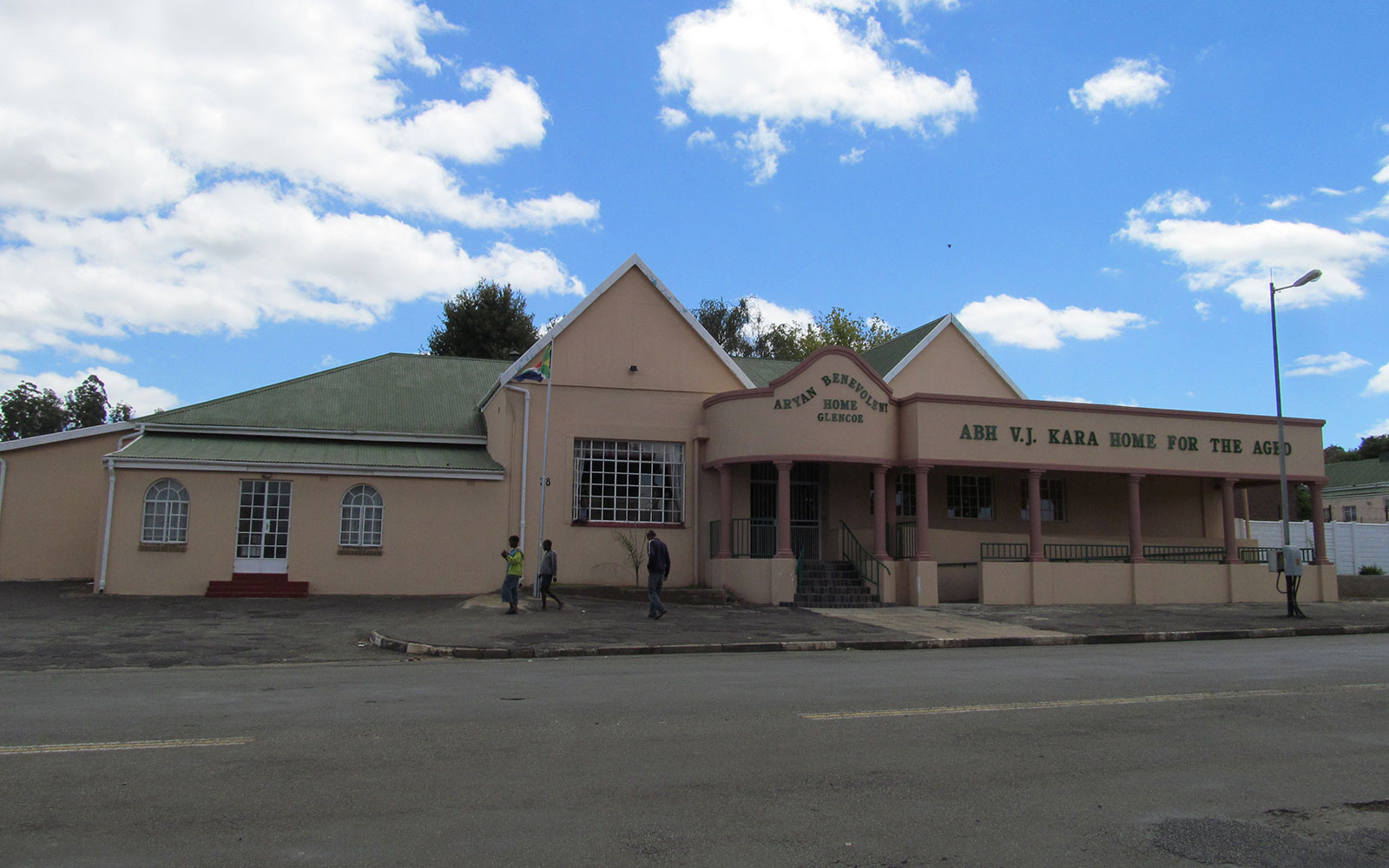
Many of the Boer leaders, including President Paul Kruger, slept overnight in the village during the Anglo Boer War.
Glenluce Pass
Anglo-Boer War transcripts refer to this traverse as Uithoek Pass, and would have been correct at the time, as “Uithoek” farm which was owned by Voortrekker leader Karel Landman, is located at the base of the pass, which is situated just to the south of Glencoe.
History
Glencoe was established when the railway line which was constructed between Port of Durban and Johannesburg reached this junction in 1889. It served as a Junction for coal loading from neighbouring Dundee and Northfield coal mines.
It was first called Biggarsberg Junction after the Biggarsberg Mountain Range. Later with the arrival of Scottish miners, it was renamed Glencoe Junction- which changed in 1932 when the Junction was dropped and it became Glencoe with the formation of a local council. It was named for the valley Glen Coe in Scotland.
In 1889 a private line was built by the coal mine owners, from Biggarsberg Junction (Glencoe) to the farm Coalfields (Talana). The line opened for use in 1890 and there were 2 stations – one at Dundee and the other at Talana. The line was taken over by the Natal Government Railways in 1896. Slowly extensions were built to Vryheid – reached in 1903, then on to Hlobane coal mine, to allow for the transport of coal to the harbour in Durban.
Before the opening of the Richards Bay line in 1976, this was a heavy main haul line and the main means of transporting coal.
Street names
The main streets of Glencoe were Karel Landman and Biggar Streets forming an intersection near the town hall and civic building.Karel Landman Street was named after Voortrekker leader, Commandant Karel Landman, second in charge, at the Battle of Blood River. It stretched from his house at Uithoek, near Wasbank and was considered the longest street in KZN.It passed through Glencoe through to Dundee to connect with Victoria Street.
Biggar Street is the main Street stretching from the East to the West, connecting to road R68. Named after Alexander Harvey Biggar a British soldier who had settled at Port Natal (Durban).
Schroeder’s Street was named after pioneer farmer Schroeder who had owned large parts of Glencoe, below the railway line, and sold to the Municipality and that area was subdivided with roads and plots for the Indian community who were displaced by the Group Areas Act of 1950 near Karel Landman Street.The former area was rezoned as the Industrial Area of Glencoe. Many roads were incorporated in the Industrial Area and lost it’s name.